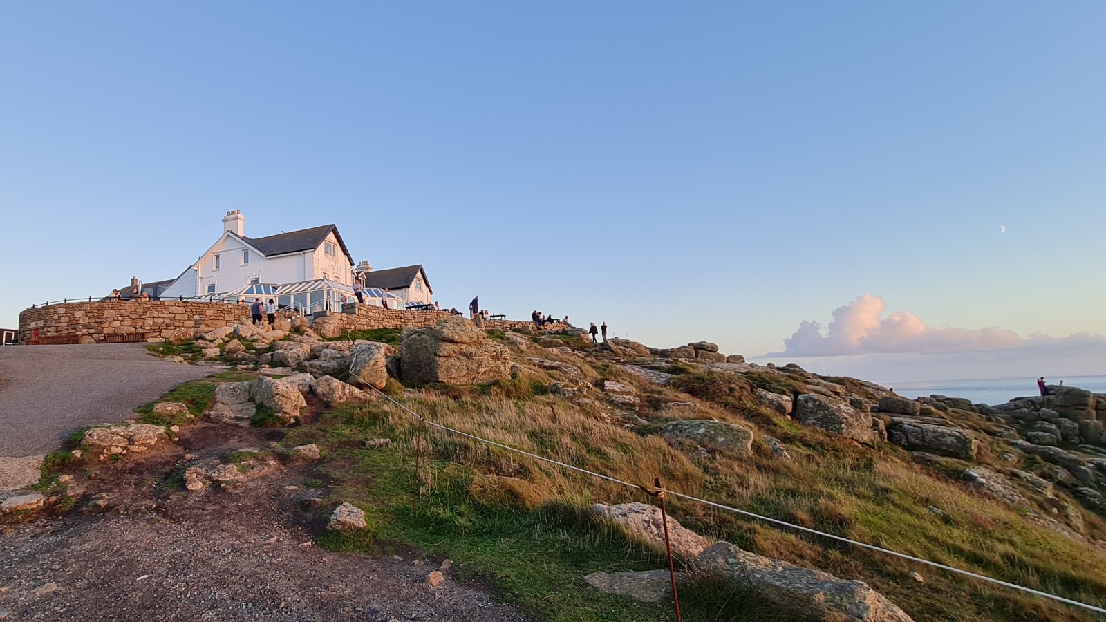
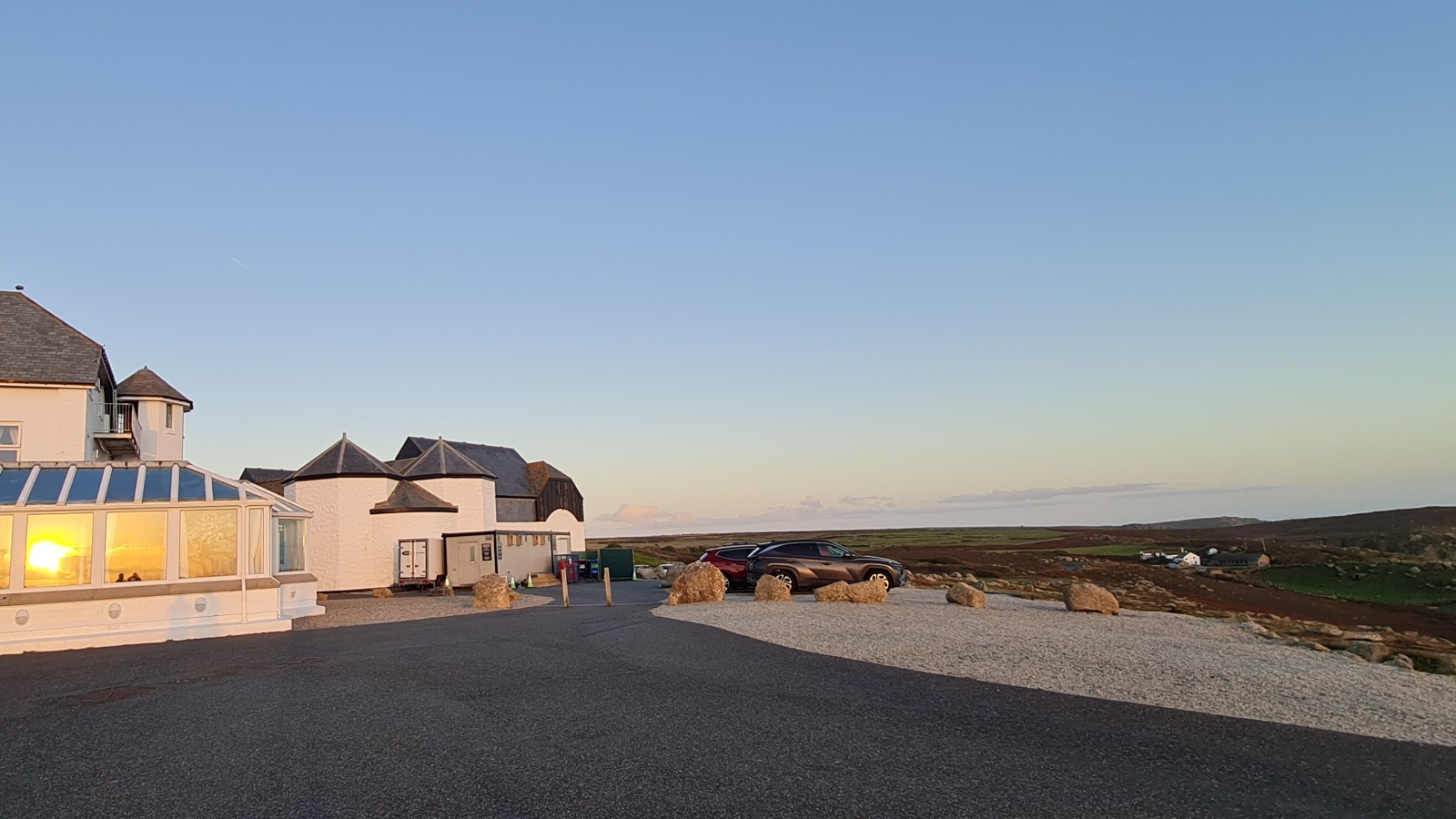
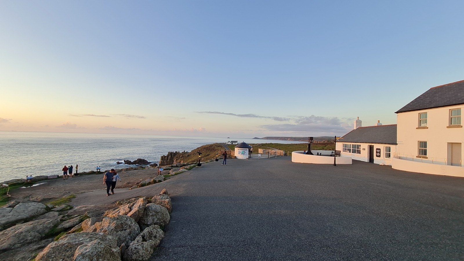
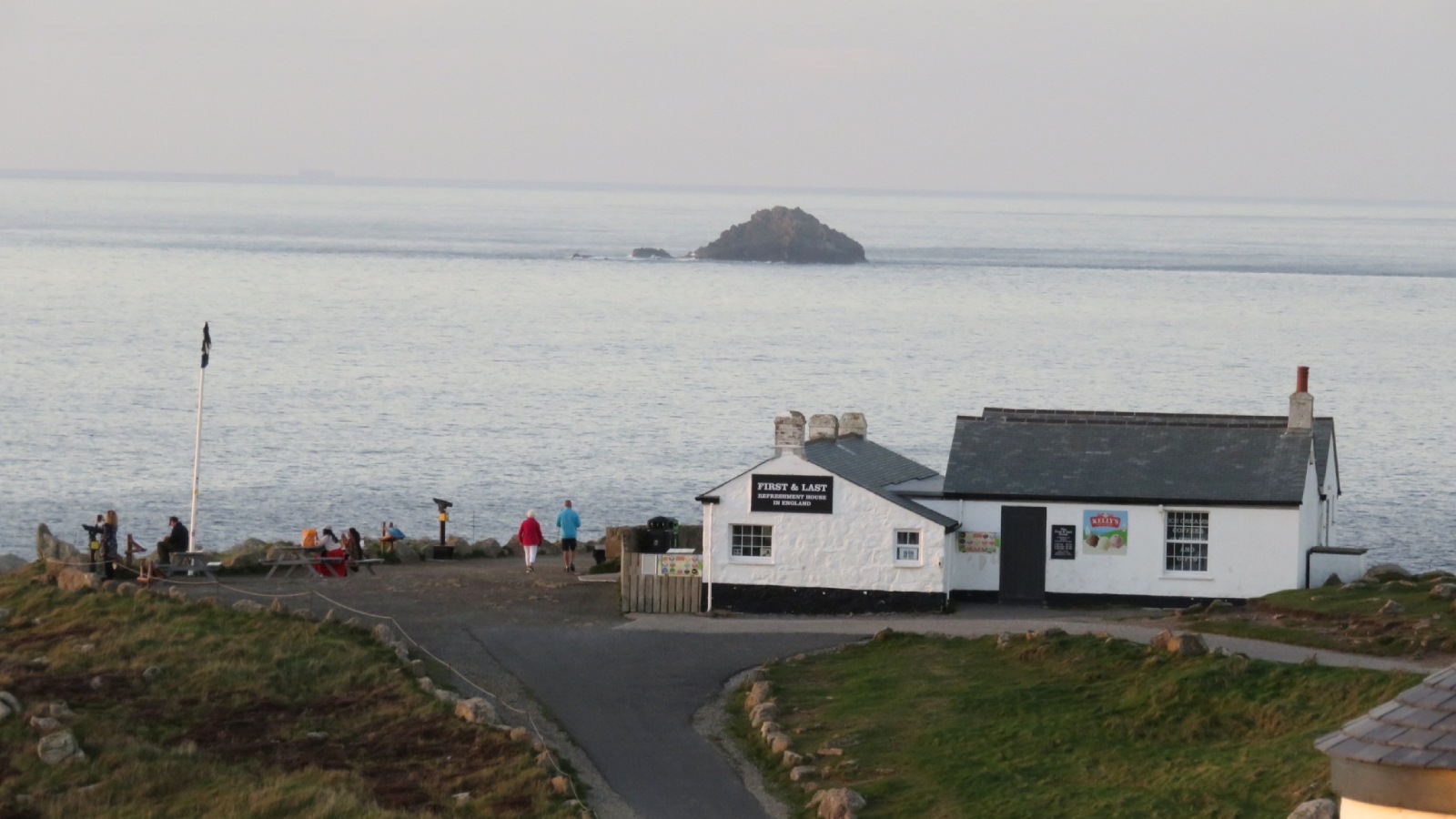
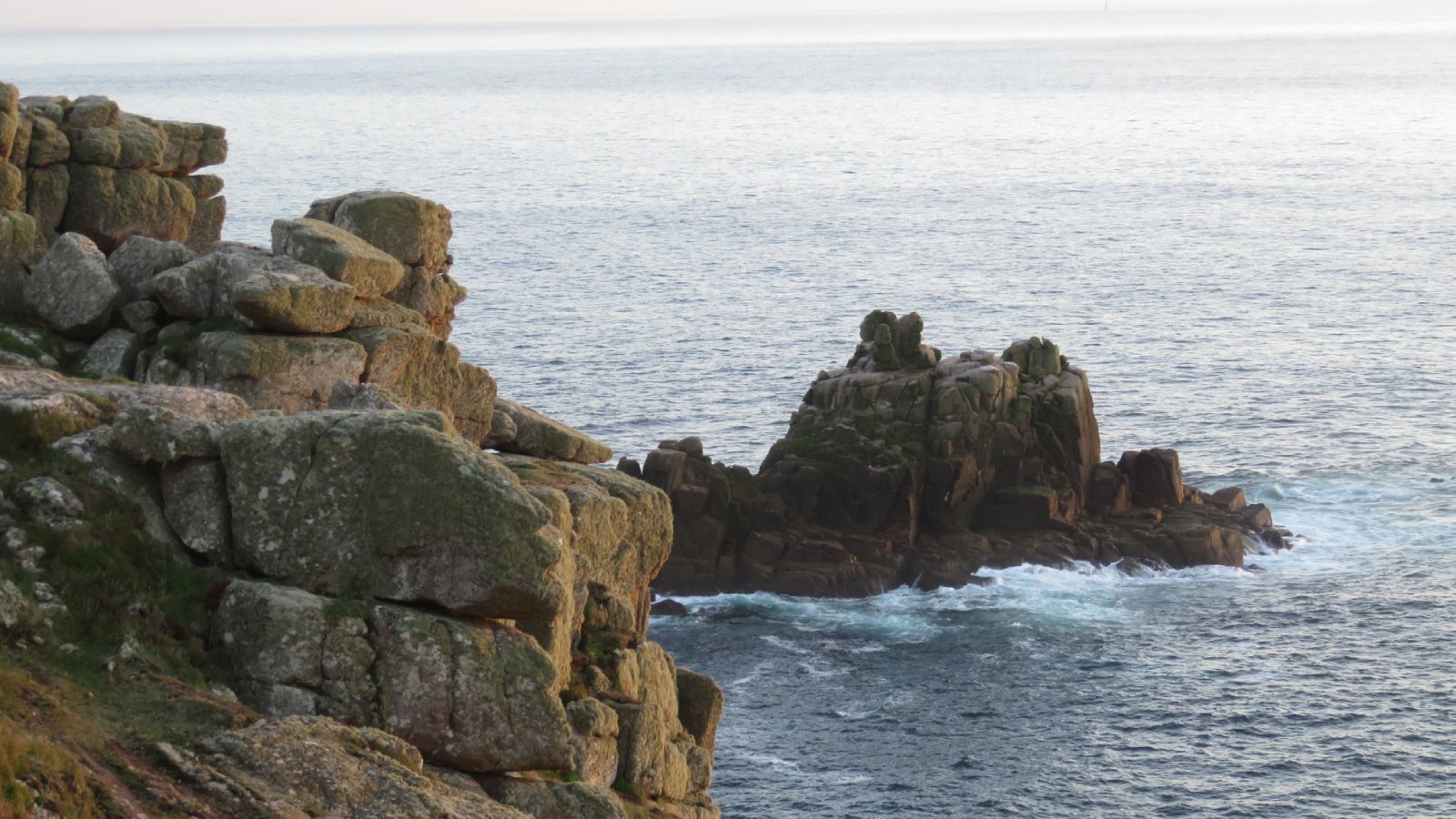
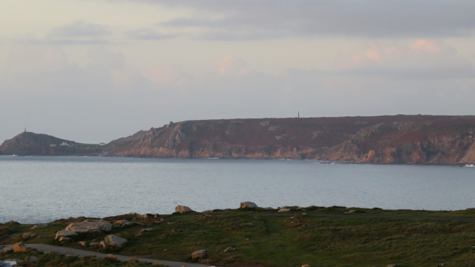
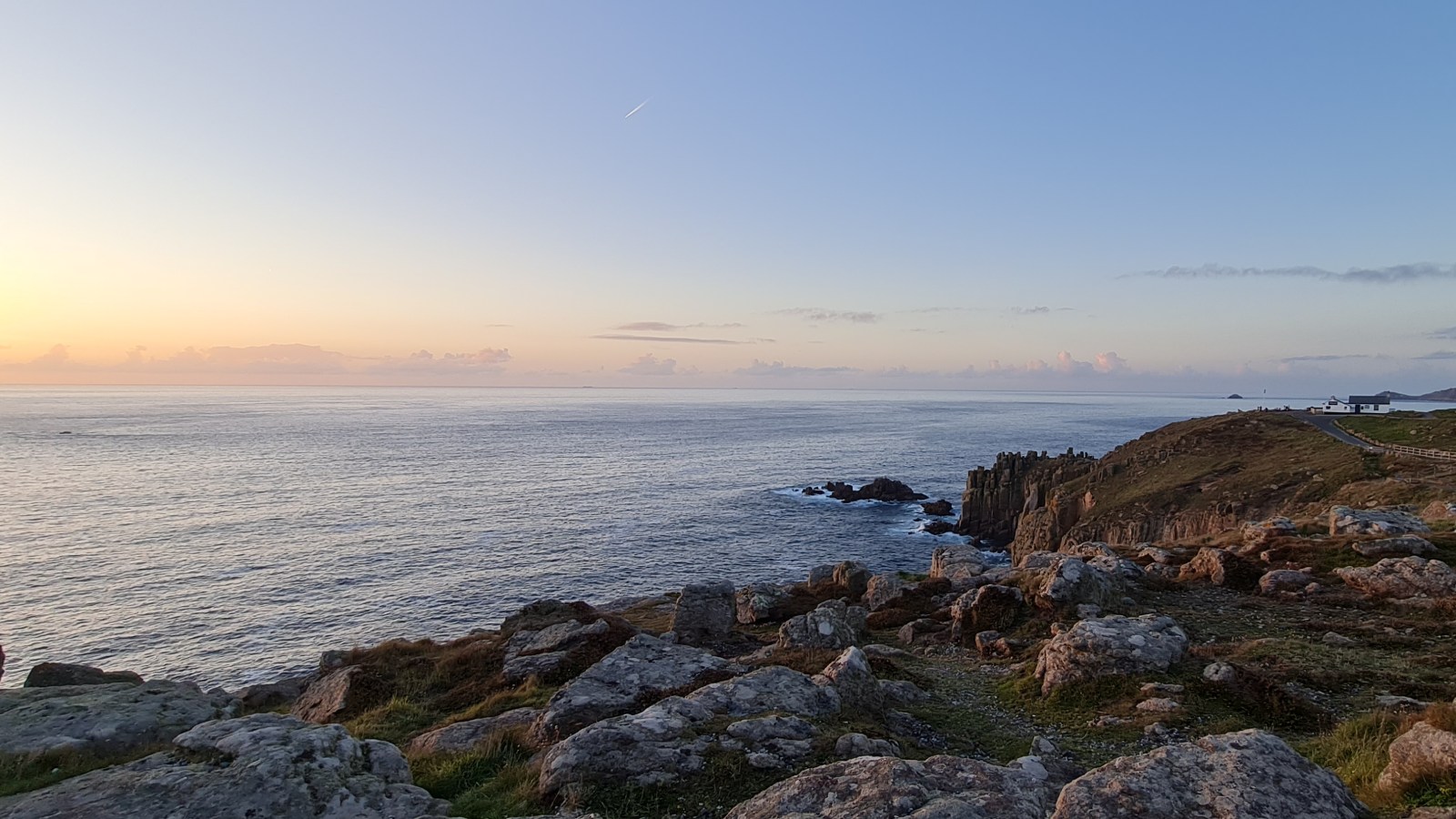
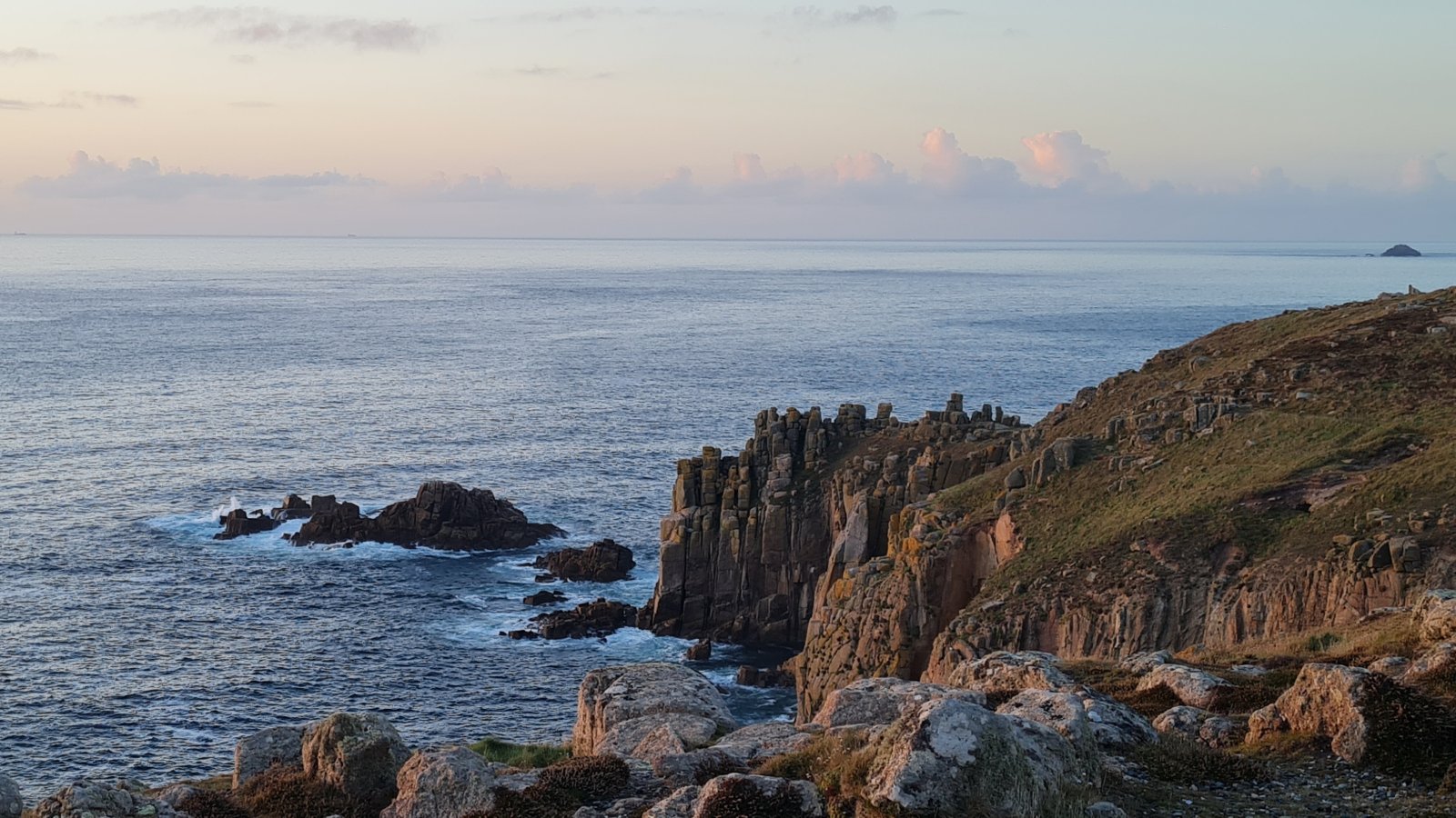
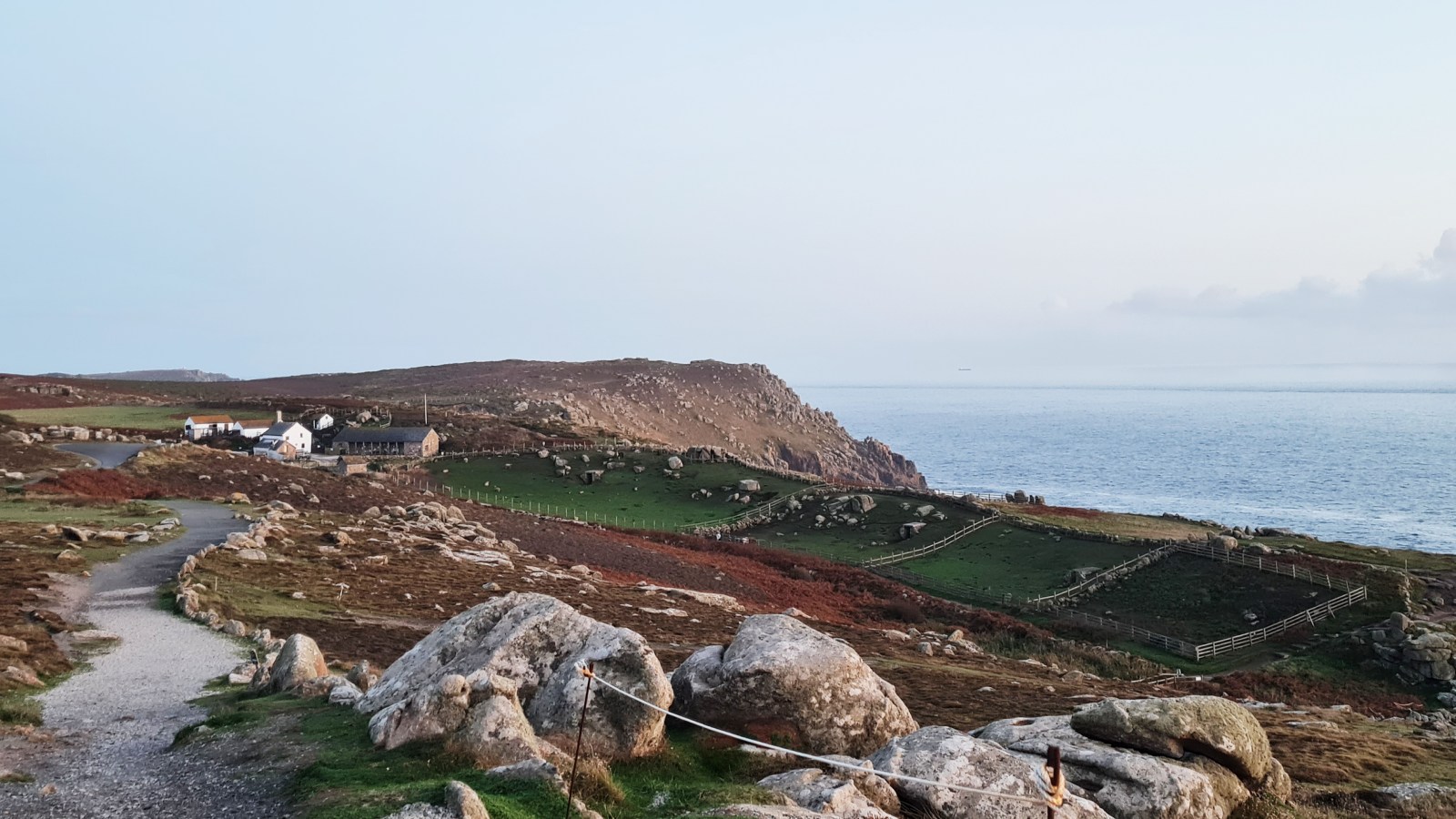
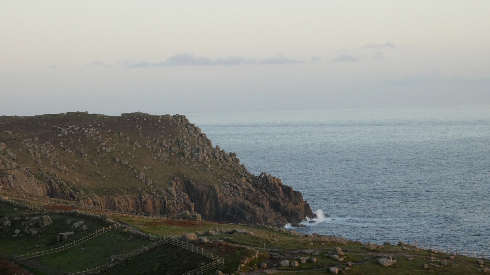
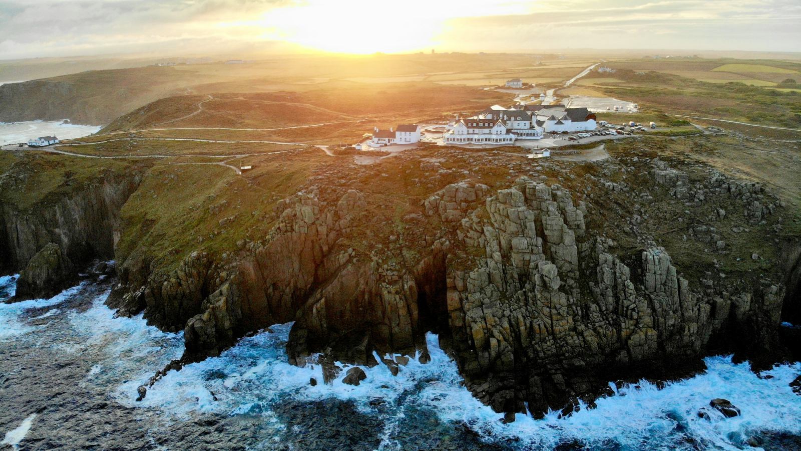
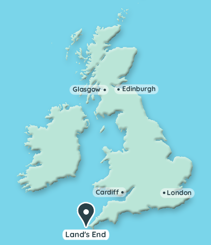
As the name suggests, Land’s End is literally the western most point of England and southern Britain. It is considered an iconic landmark and it is easy to see why – this rugged coastline offers sweeping vistas out to the Atlantic Ocean from 60 metre tall granite cliffs. Here’s some great video footage, plus I’ve included a stock image at the end of our photos to show the landscape from the air.
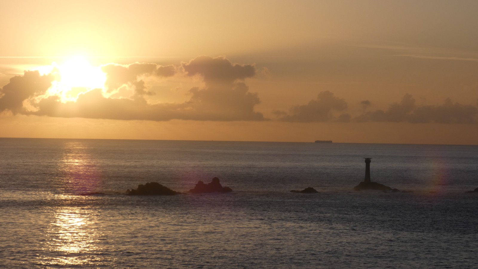
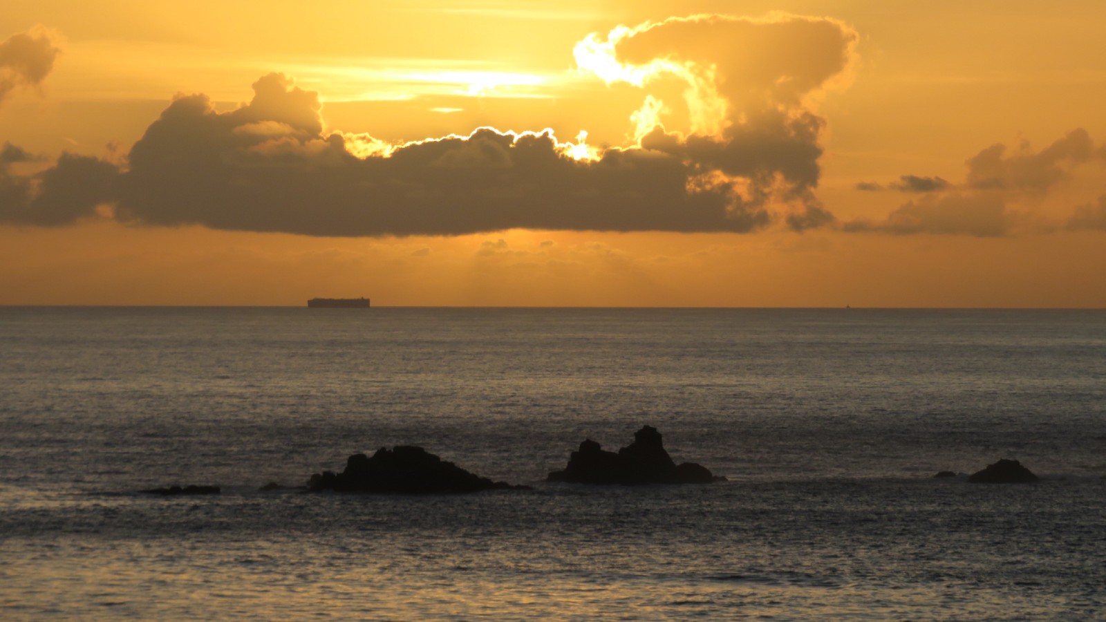
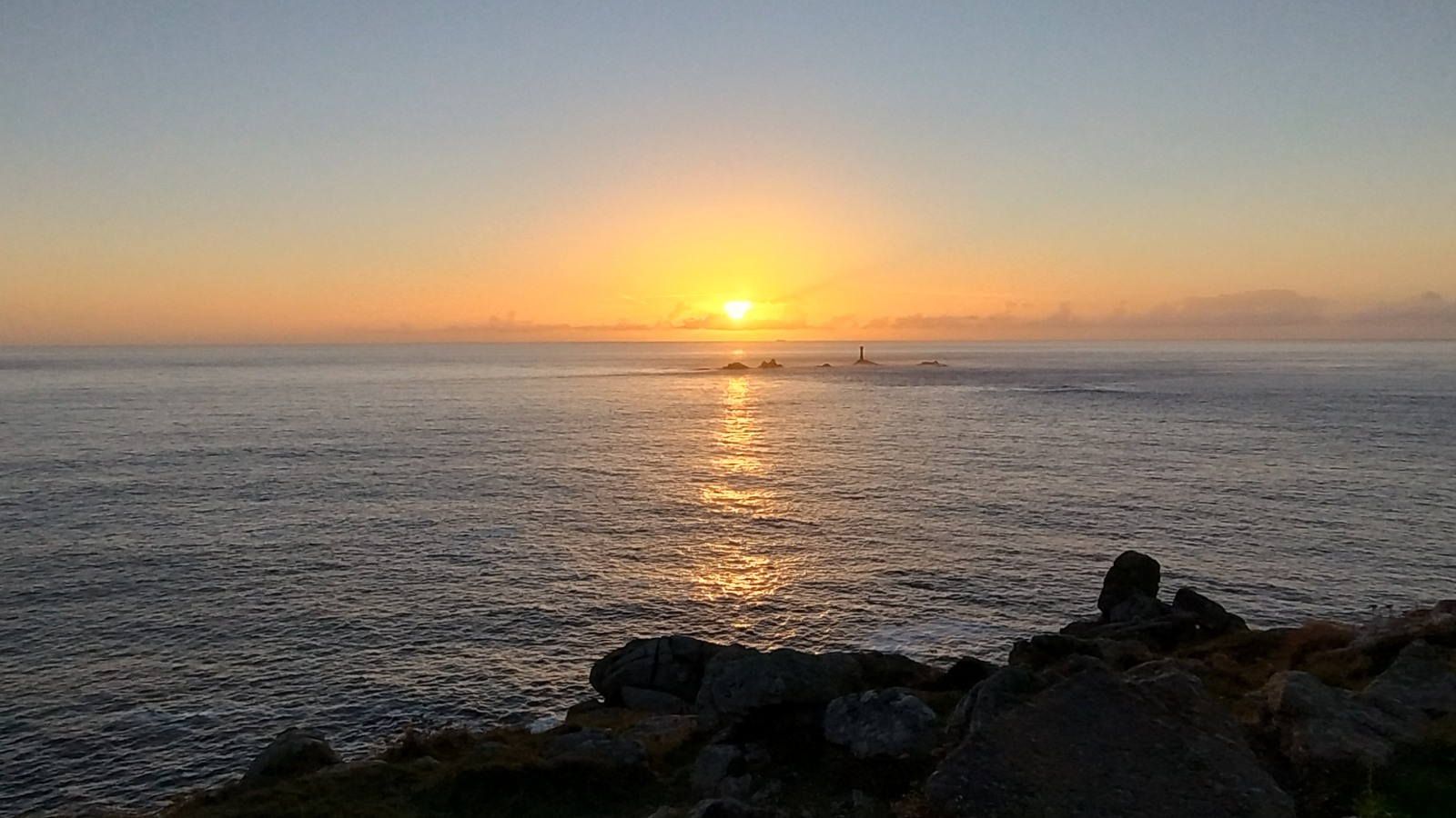
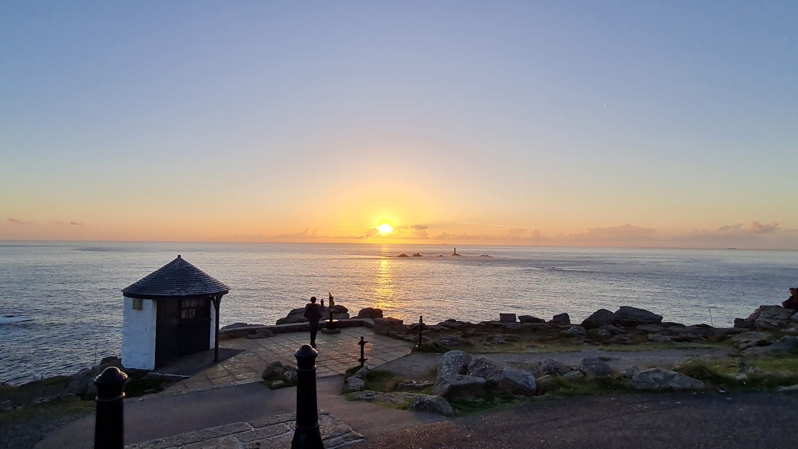
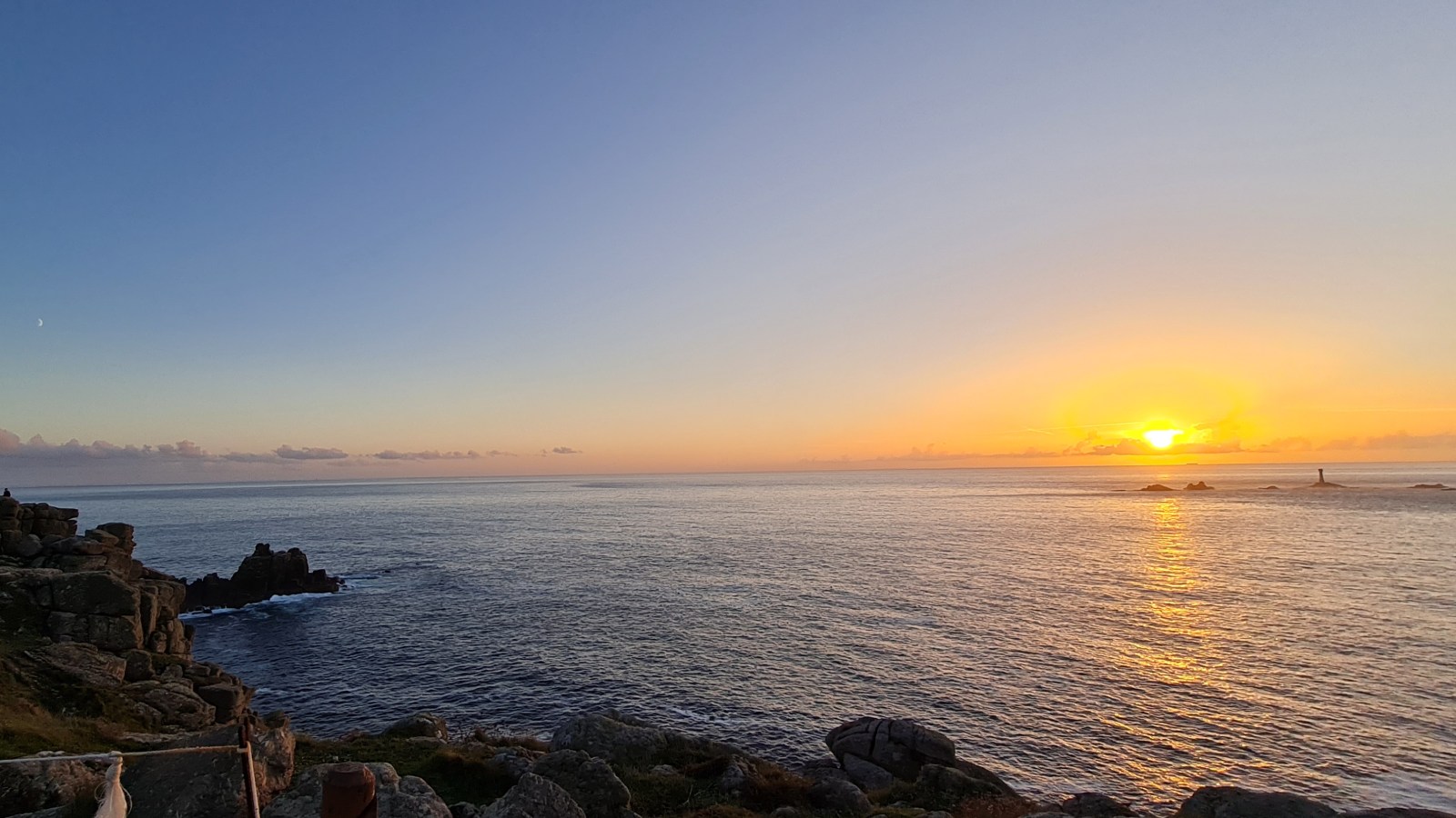
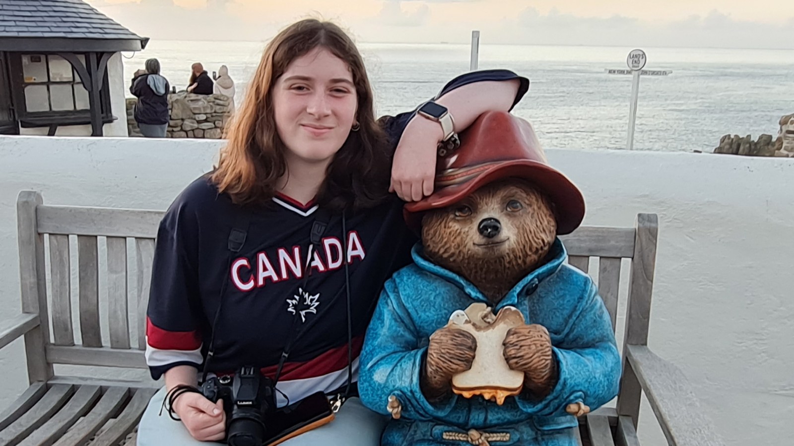
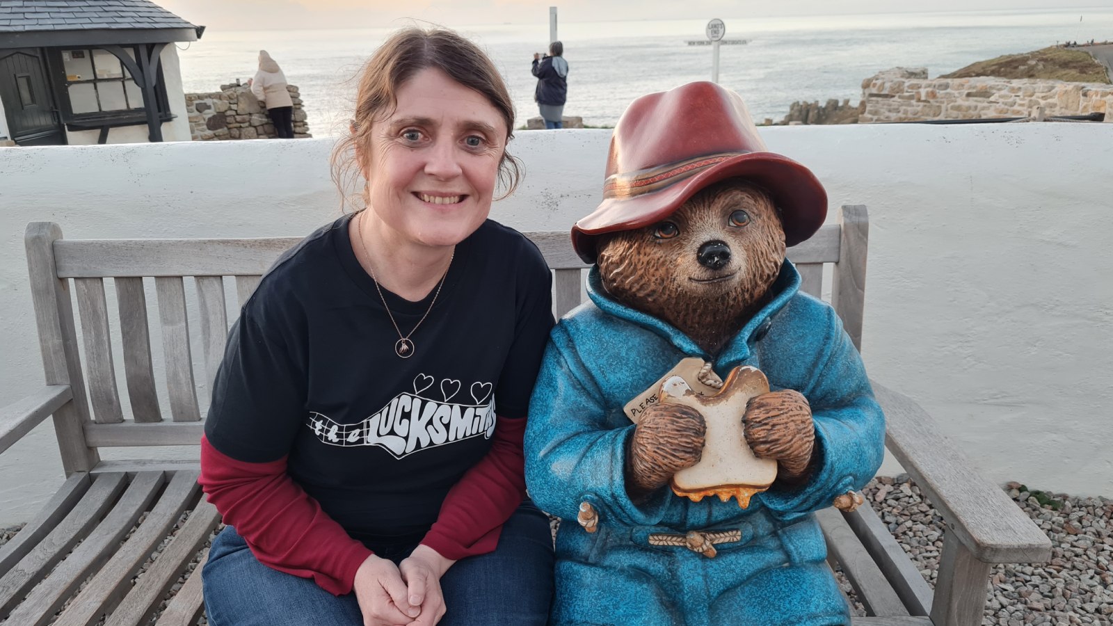
We were lucky to arrive in time to catch the sunset which was nothing short of spectacular. It's hard to comprehend that if you could see infinitely across the horizon you would see eastern Canada directly west of here, about 3,810km away. The mind boggles!
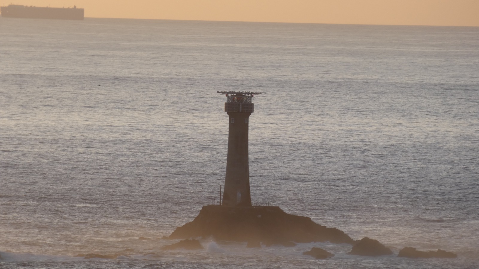
Slightly closer than Canada you can see a ship on the horizon, some rocky reefs, and Longships Lighthouse about a mile out to sea. Over 130 shipwrecks have been recorded on this coast with countless more undocumented, so the lighthouse has no doubt saved many lives since it was built in 1795.
On a clear day you can also see the Isles of Scilly on the horizon, about 45km off the coast. As we watched the sunset it seemed like we *may* have seen a hazy outline of land on the horizon a couple of times, but it was hard to differentiate from the clouds. The Isles of Scilly is somewhere I’d like to visit someday – they have their own subtropical microclimate similar to the Caribbean which makes for some interesting landscapes and vegetation.
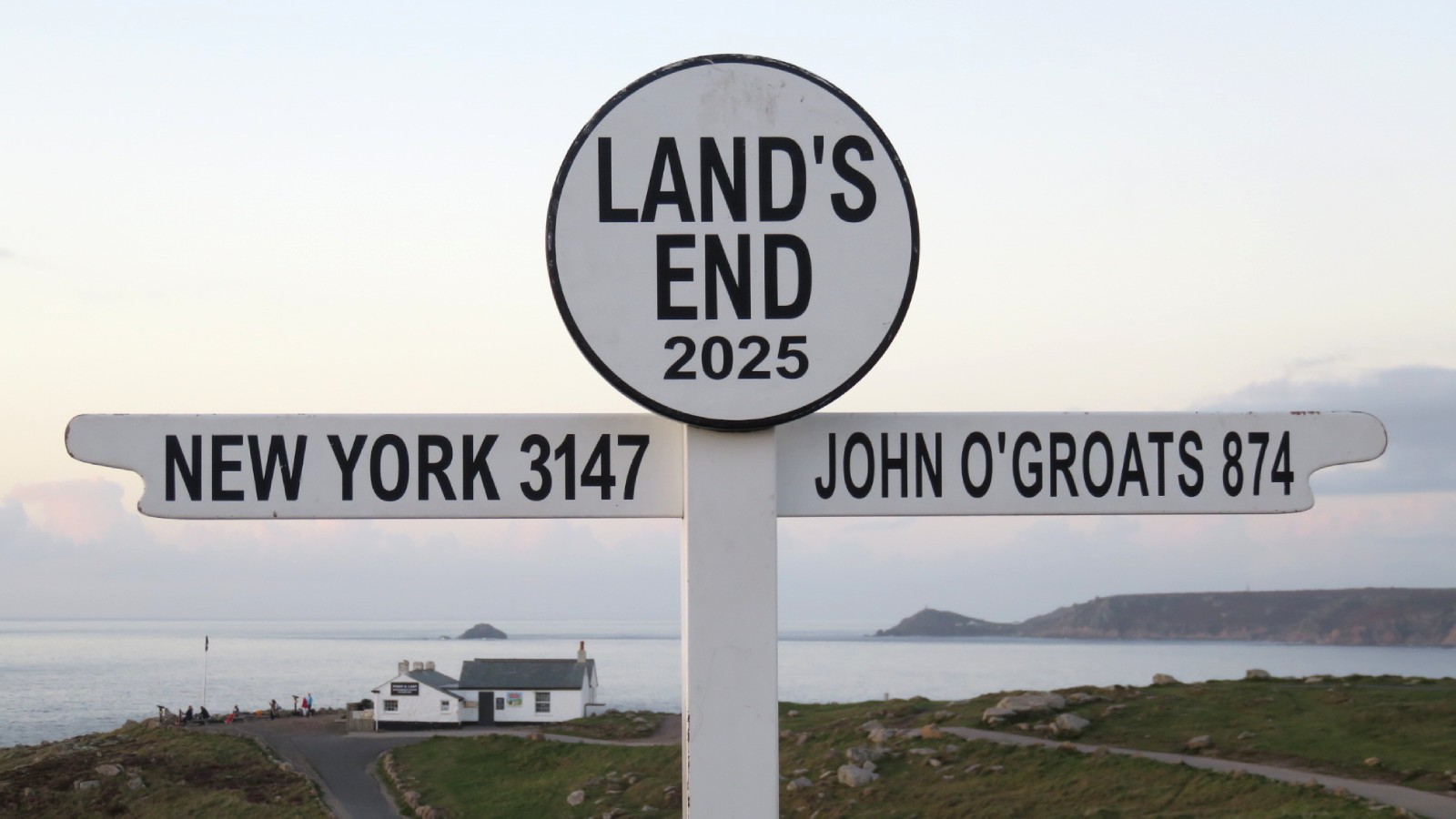
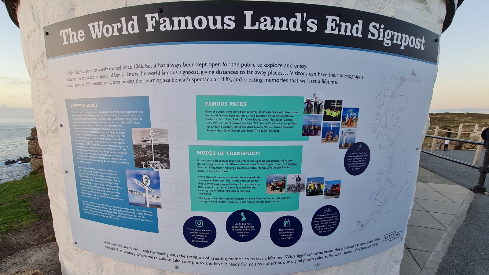
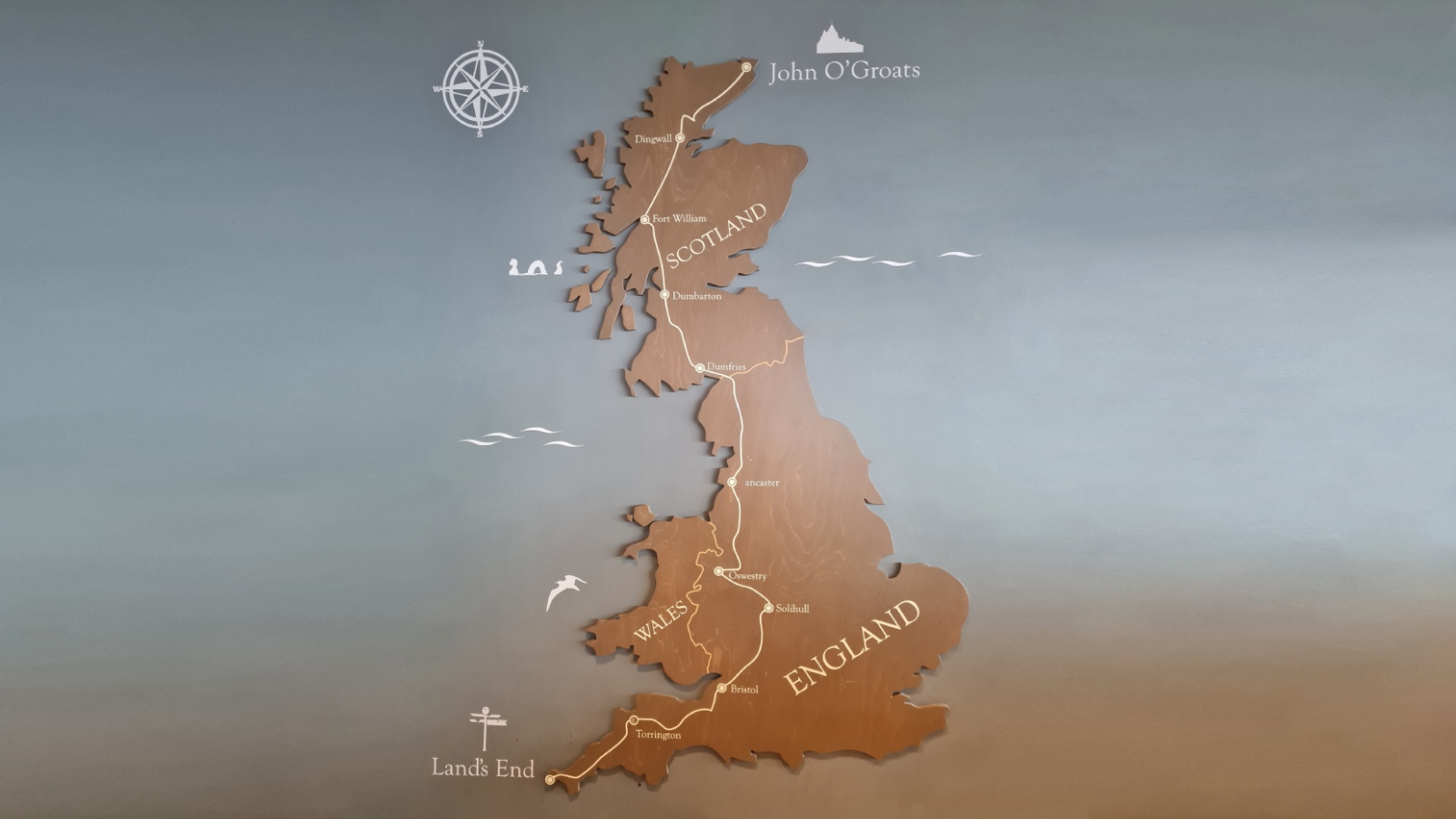
Land’s End is home to the famous John o’ Groats challenge for enthusiasts who cycle, walk or run from the UK’s south-west extremity here, to John o’ Groats in Scotland – the UK’s north-east extremity. The road distance is about 1,400km – a long way but definitely very scenic!
Legend has it that the ‘Lost Land of Lyonesse’, King Arthur’s mythical kingdom, lies beneath the sea just off the cliffs of Land’s End. It is said that the spires of churches have been seen protruding from the ocean, and that sailors have heard the sound of bells beneath the waves.
Archaeological evidence indicates that people have lived here in Land’s End since at least 10,000 BC. Like some other parts of Cornwall, it was once a rich tin mining area, and the Greeks called it ‘Belerion’ which meant ‘the shining land’.
The earliest known name for Land’s End was ‘Penwith Steort’ which was recorded in 997 and means ‘extreme end’ – I can definitely see why, it really feels like it could be the edge of the earth!
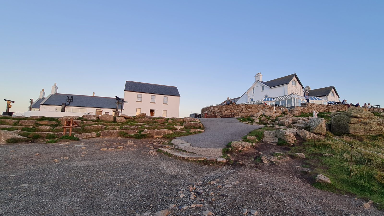
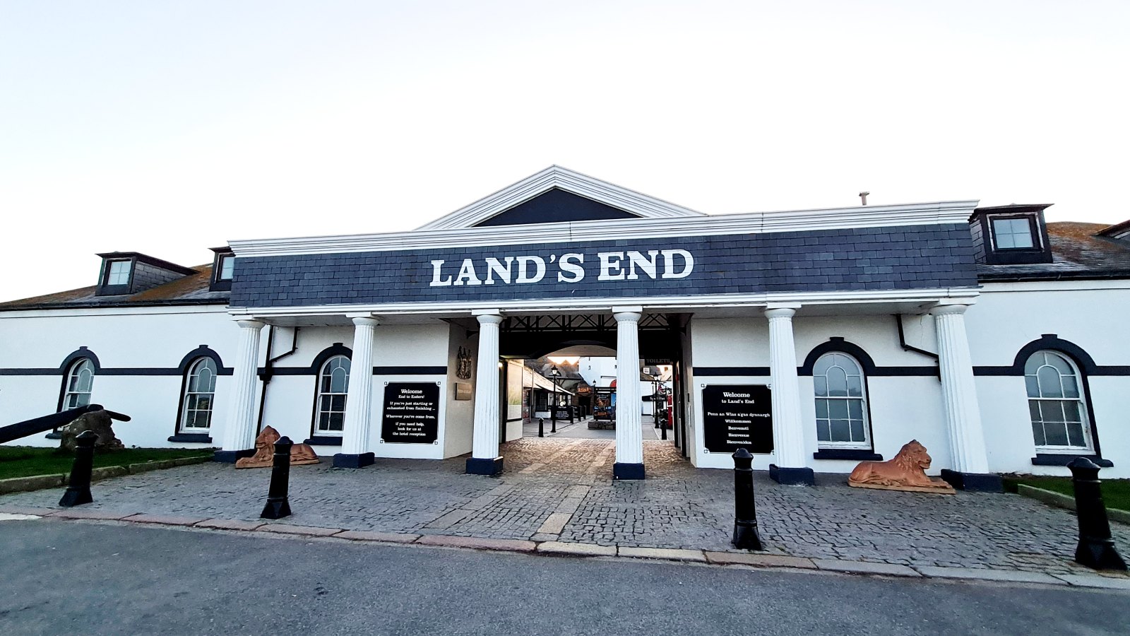
Also see my post on the historic Land's End Hotel where we stayed for the night.
View Land’s End on Google maps
